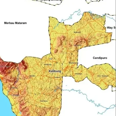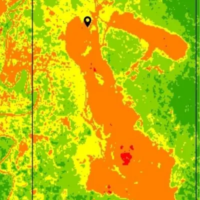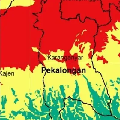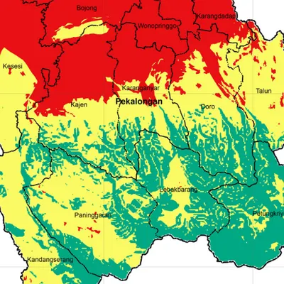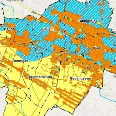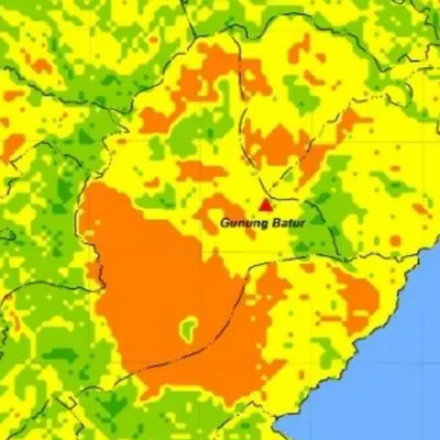
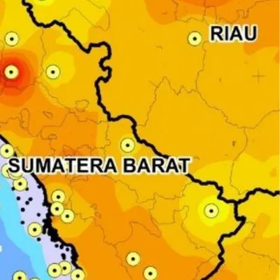
What the map shows
- Rainfall zones in mm per year or per month
- The rain stations used
- Classes ready for flood or landslide scoring
Data we use
- Station data from BMKG (Indonesia's weather agency) or from you
- Satellite data such as CHIRPS where stations are sparse
- IDW or kriging interpolation
Often used for
- The climate section of a thesis
- A factor in flood and landslide hazard maps
- Farm and plantation planning
Price
Price per map, by the size of the area and how fast you need it.
| Area | 7–5 days | 4–3 days | 2–1 days |
|---|---|---|---|
| Village | $7.36 | $8.83 | $12 |
| District | $7.36 | $8.83 | $12 |
| Regency | $8.83 | $11 | $14 |
| Province | $10 | $12 | $16 |
| Country | $12 | $14 | $19 |
| World | $26 | $31 | $41 |
Common questions
How much does a rainfall map cost?
From $7.36 for a village-sized area in 7–5 days. The price goes up for larger areas and faster delivery, up to $41 for world scale in 2–1 days. See the table above.
How long does it take?
You choose: 7–5 days, 4–3 days or 2–1 days. Faster delivery costs more.
I have no station data. Is that a problem?
No. We can use satellite data such as CHIRPS, or help you find the station data that exists.