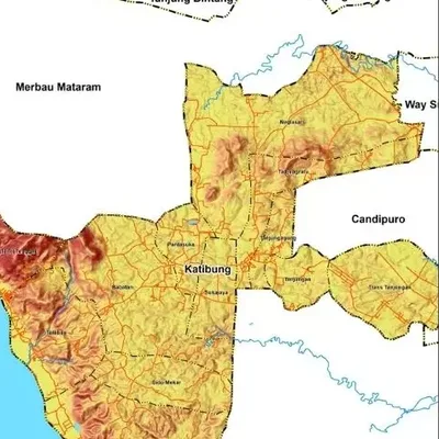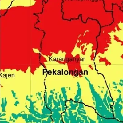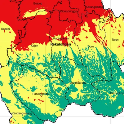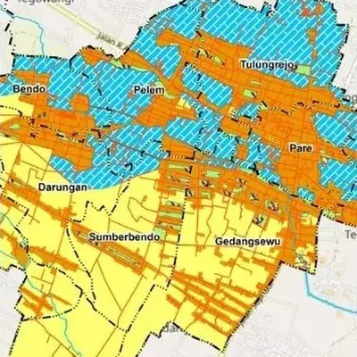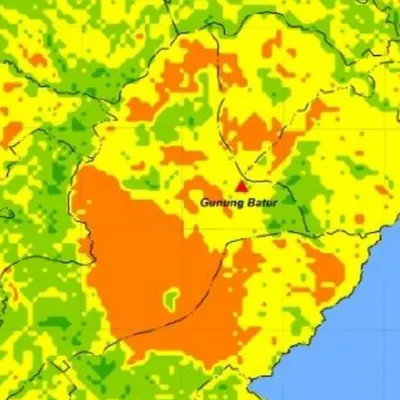
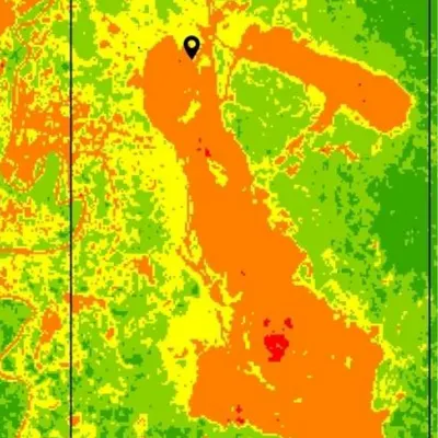
What the map shows
- Landslide hazard classes, for example low, moderate, high and very high
- Factor weights and scores can follow the method you cite
- The area of each hazard class, for the tables in your report
Data we use
- Slope from a DEM
- Geology (rock types) from ESDM maps, and soil types
- Rainfall and land use
Often used for
- Theses and disaster research
- Risk studies for spatial plans
- Evacuation and mitigation planning
Price
Price per map, by the size of the area and how fast you need it.
| Area | 7–5 days | 4–3 days | 2–1 days |
|---|---|---|---|
| Village | $32 | $39 | $52 |
| District | $33 | $40 | $53 |
| Regency | $37 | $44 | $59 |
| Province | $55 | $66 | $88 |
| Country | $103 | $124 | $165 |
| World | $226 | $271 | $361 |
Common questions
How much does a landslide hazard map cost?
From $32 for a village-sized area in 7–5 days. The price goes up for larger areas and faster delivery, up to $361 for world scale in 2–1 days. See the table above.
How long does it take?
You choose: 7–5 days, 4–3 days or 2–1 days. Faster delivery costs more.
Which method do you use?
Usually a weighted overlay (scoring) of slope, rock, soil, rainfall and land use. If you have a method or weights from a paper, we use those.