Download
Files are stored on Google Drive.
What's included
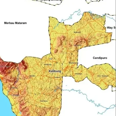
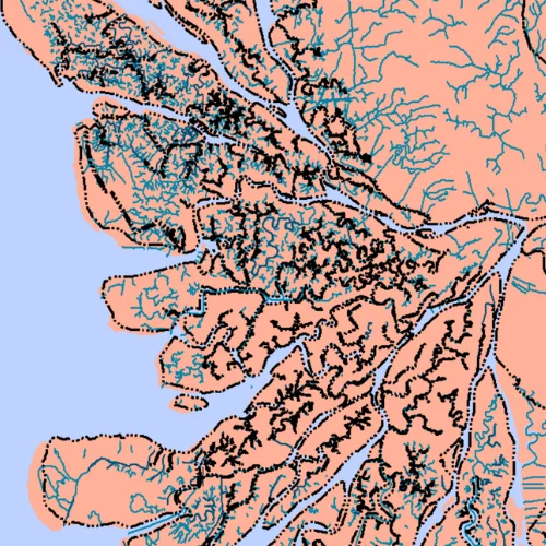
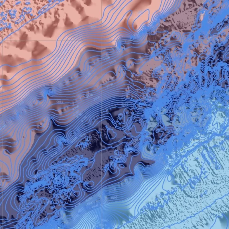
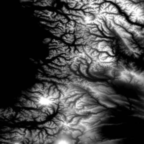
- An elevation raster for all of Indonesia
- Ready for slope, contour and watershed analysis
- A link to DEMNAS (BIG) for higher resolution
Source
USGS Earth Explorer. For higher resolution: DEMNAS from BIG (Indonesia's mapping agency).
Tips for using this data
- Files are compressed (.rar); extract them before opening
- Clip the DEM to your study area so it is light to process
- How to process it is on Im.Carto's YouTube channel