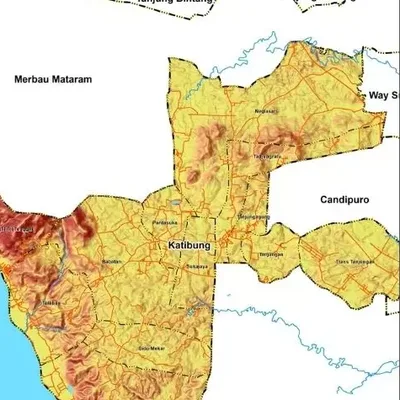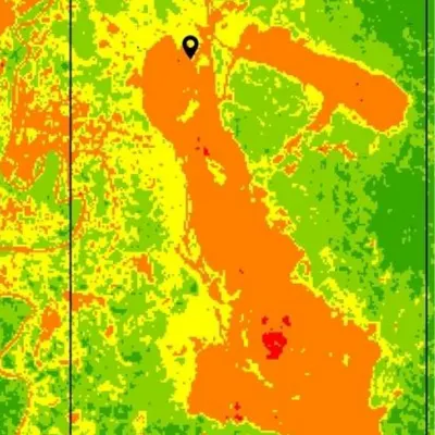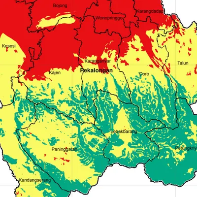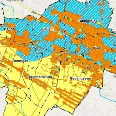
What the map shows
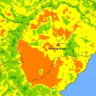
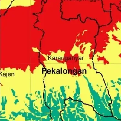
- Flood hazard classes from low to very high
- Main rivers and boundaries for reference
- The area of each class, for the tables in your report
Data we use
- Rainfall from stations or satellite data
- Slope and elevation from a DEM
- Soil type, land use and distance from rivers
Often used for
- Theses and disaster research
- Risk studies for spatial plans
- Choosing sites for housing and warehouses
Price
Price per map, by the size of the area and how fast you need it.
| Area | 7–5 days | 4–3 days | 2–1 days |
|---|---|---|---|
| Village | $45 | $55 | $73 |
| District | $51 | $61 | $82 |
| Regency | $57 | $69 | $92 |
| Province | $77 | $93 | $124 |
| Country | $145 | $174 | $233 |
| World | $318 | $382 | $509 |
Common questions
How much does a flood hazard map cost?
From $45 for a village-sized area in 7–5 days. The price goes up for larger areas and faster delivery, up to $509 for world scale in 2–1 days. See the table above.
How long does it take?
You choose: 7–5 days, 4–3 days or 2–1 days. Faster delivery costs more.
Can you use flood records from an agency?
Yes. Flood event records from the local disaster agency or others can be used to check the map.