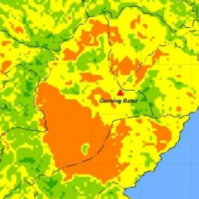
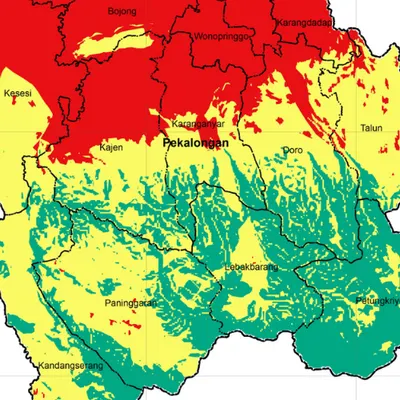
What the map shows
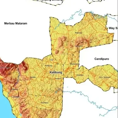
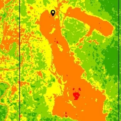
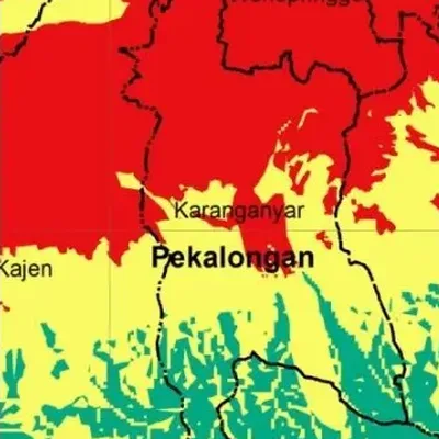
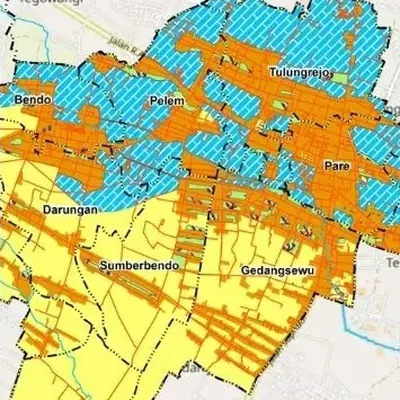
- The land cover classes you need, such as forest, plantation, rice field, settlement and water
- The area of each class in hectares
- Imagery from the year you choose
Data we use
- Landsat 8/9 or Sentinel-2 satellite imagery
- Image correction is included in the price
- Training samples for supervised classification
Often used for
- Environmental and forestry research
- A base for land change and hazard analysis
- Monitoring plantations and concessions
Price
Price per map, by the size of the area and how fast you need it. Minimum area 50 km².
| Area | 7–5 days | 4–3 days | 2–1 days |
|---|---|---|---|
| Village | $7.98 | $9.57 | $13 |
| District | $8.77 | $11 | $14 |
| Regency | $9.57 | $11 | $15 |
| Province | $11 | $13 | $18 |
| Country | $13 | $15 | $20 |
| World | $28 | $33 | $45 |
Common questions
How much does a land cover map cost?
From $7.98 for a village-sized area in 7–5 days. The price goes up for larger areas and faster delivery, up to $45 for world scale in 2–1 days. See the table above.
How long does it take?
You choose: 7–5 days, 4–3 days or 2–1 days. Faster delivery costs more.
What is the difference between supervised and unsupervised classification?
Supervised uses training samples we choose, so the classes are more controlled. Unsupervised groups pixels automatically and labels them afterwards. Both are available; the prices above are for supervised.