Download
Files are stored on Google Drive.
What's included
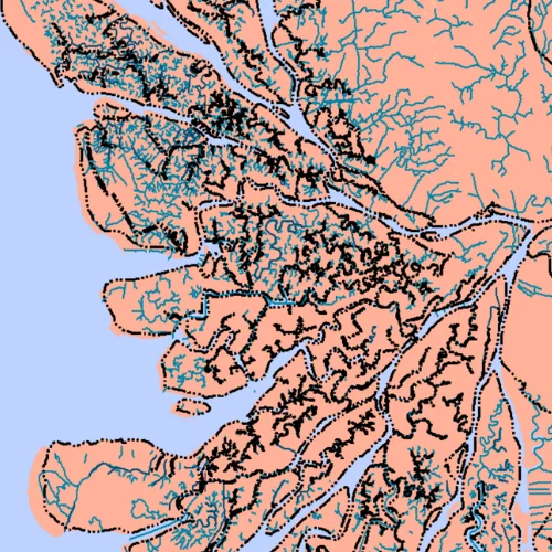
- The national river network (OpenStreetMap and Ina-Geoportal)
- Detailed rivers at 1:25,000, 1:50,000 and 1:250,000
- River names where the source has them
Source
OpenStreetMap and Ina-Geoportal (BIG).
Tips for using this data
- Files are compressed (.rar); extract them before opening
- Pick the scale that fits your area: 1:25,000 for villages and districts
- OpenStreetMap data is under the ODbL licence; credit the source