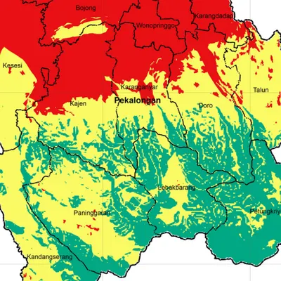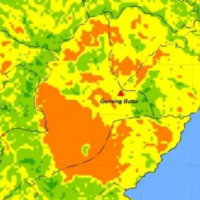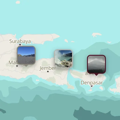
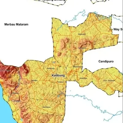
What the map shows
- Slope classes in percent or degrees, for example 0–8%, 8–15%, 15–25%, 25–40% and over 40%
- Classes can follow the standard you use (for example Indonesian ministry or USSSM classes)
- Boundaries, rivers, roads and place names for reference
Data we use
- A DEM, such as DEMNAS (Indonesia's national DEM) for detail or SRTM for large areas
- Administrative boundaries from BIG or GADM
- Your own elevation data can be used too
Often used for
- The study area chapter of a thesis or report
- Landslide hazard and land suitability analysis
- Site, road and plantation planning
Price
Price per map, by the size of the area and how fast you need it.
| Area | 7–5 days | 4–3 days | 2–1 days |
|---|---|---|---|
| Village | $7.36 | $8.83 | $12 |
| District | $7.36 | $8.83 | $12 |
| Regency | $8.83 | $11 | $14 |
| Province | $10 | $12 | $16 |
| Country | $12 | $14 | $19 |
| World | $26 | $31 | $41 |
Common questions
How much does a slope map cost?
From $7.36 for a village-sized area in 7–5 days. The price goes up for larger areas and faster delivery, up to $41 for world scale in 2–1 days. See the table above.
How long does it take?
You choose: 7–5 days, 4–3 days or 2–1 days. Faster delivery costs more.
Can the slope classes be customised?
Yes. Send us the standard or paper you follow and we use its classes and colours.