Download
Files are stored on Google Drive.
What's included
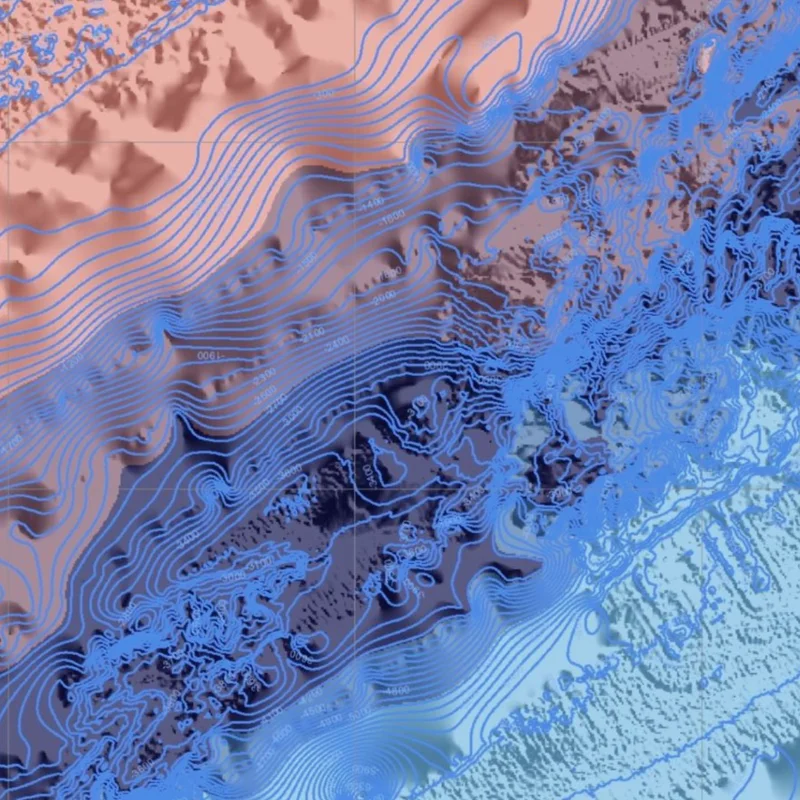
- A sea depth raster for Indonesian waters
- Ready for depth contours and seafloor profiles
- A link to the BATNAS source for updates
Source
BATNAS (national bathymetry) from BIG.
Tips for using this data
- The data is in a Google Drive folder; download the parts you need
- Clip it to your study area so it is light to process
- Combine it with a DEM for one land-and-sea map