















Interactive WebGIS
See the WebGIS product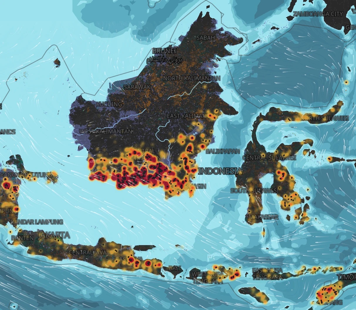
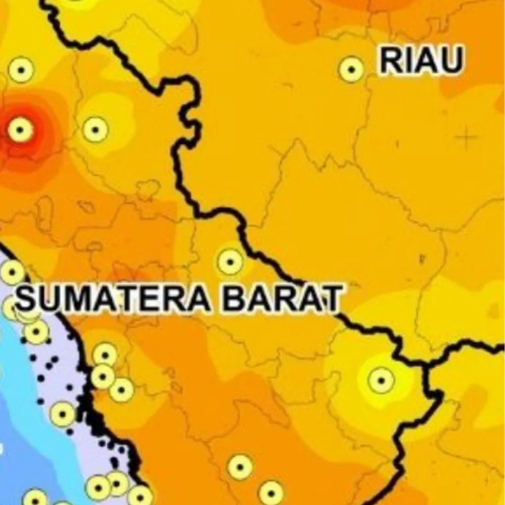
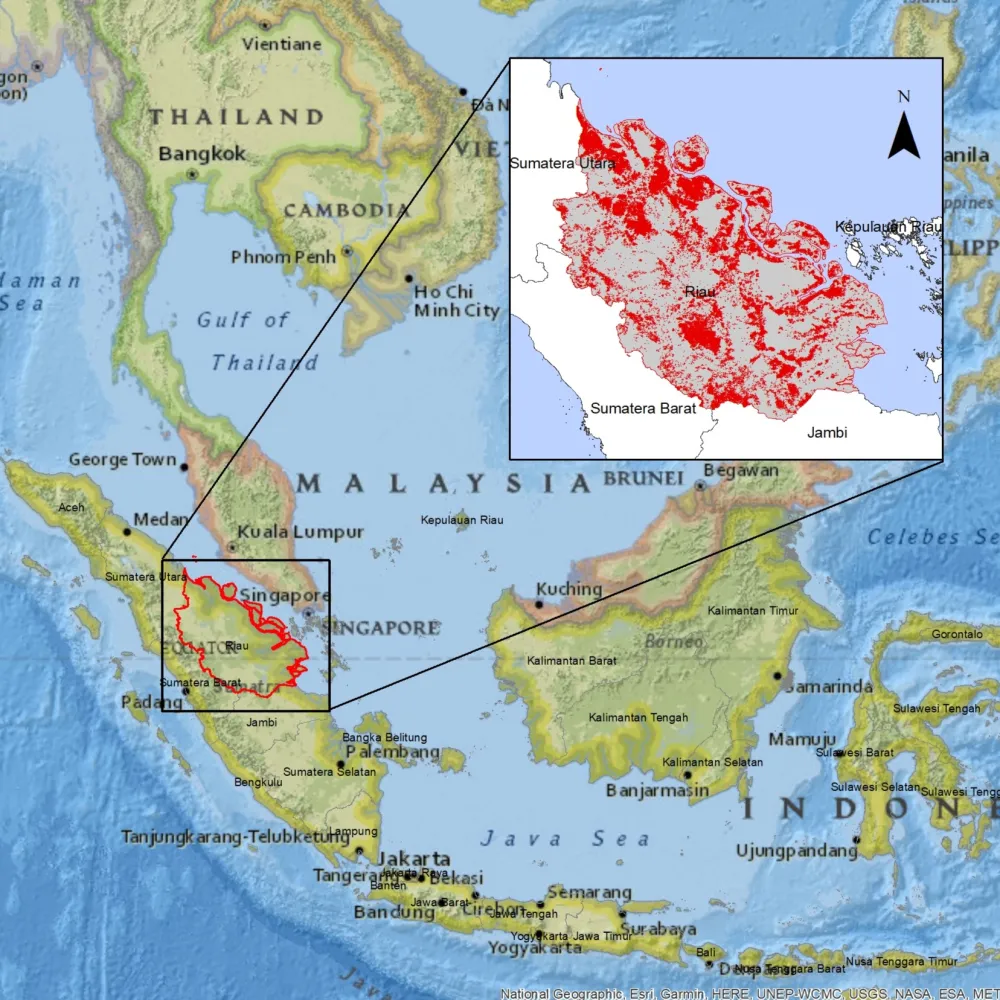
Wildfire Hotspots across Indonesia
Forest and land fire hotspots across Indonesia since 2012 from NASA FIRMS satellites, alongside burned area, peatland, land cover, smoke, wind and the fire weather index.
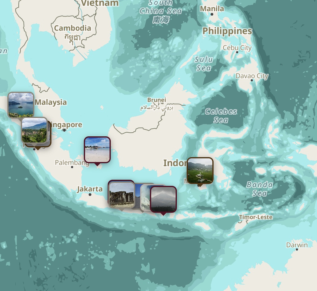
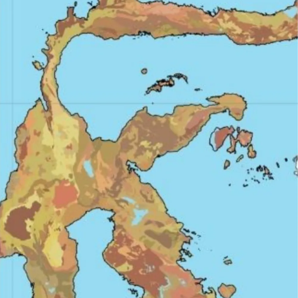
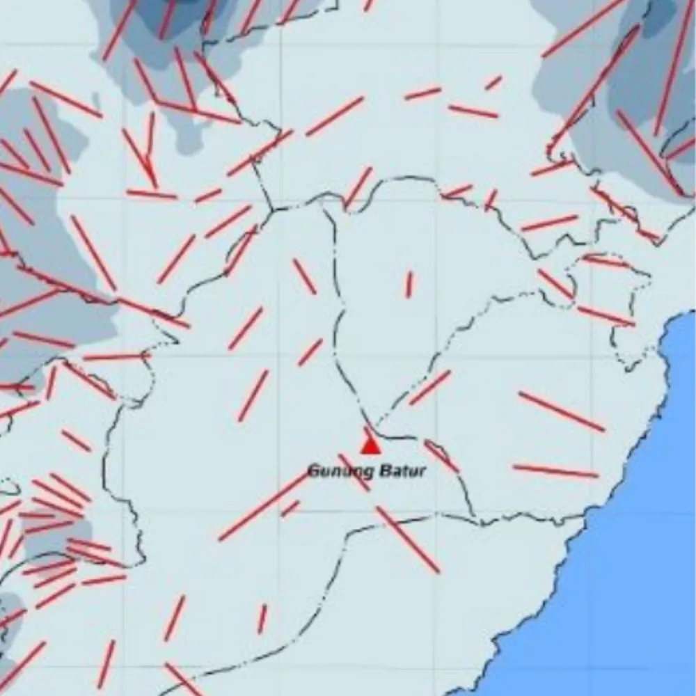
Rock and Geology Atlas of Indonesia
Research · $ 268Key geological outcrops and landscapes in Indonesia, from Triassic granite in Belitung to the Toba super-eruption tuff.
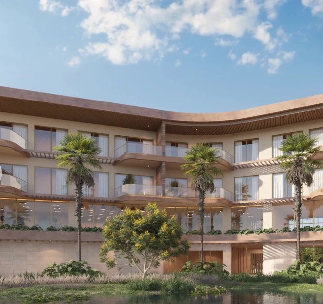
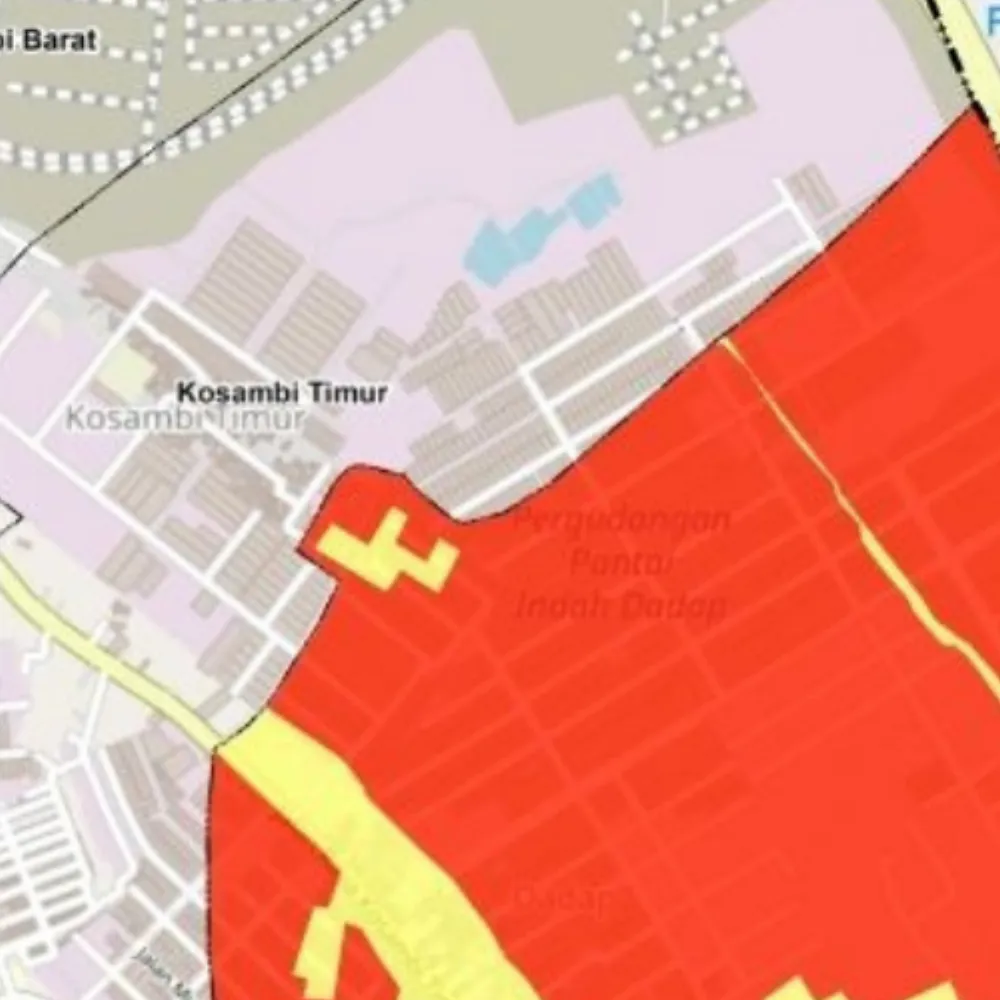
Property Developments in Cap Cana
Business · From $ 997A map-based sales platform for Cap Cana's residential developments, integrating unit inventory, pricing and construction progress.
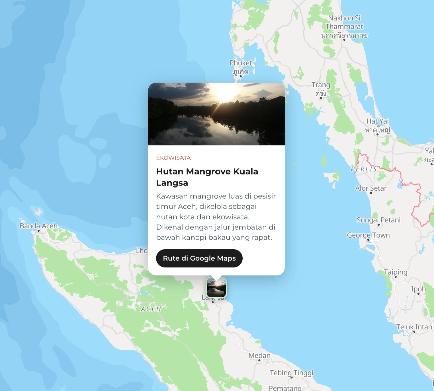
Key Mangrove Areas of Indonesia
Student · $ 138A geospatial inventory of Indonesia's principal mangrove ecosystems, pairing field documentation with site-level ecological context.
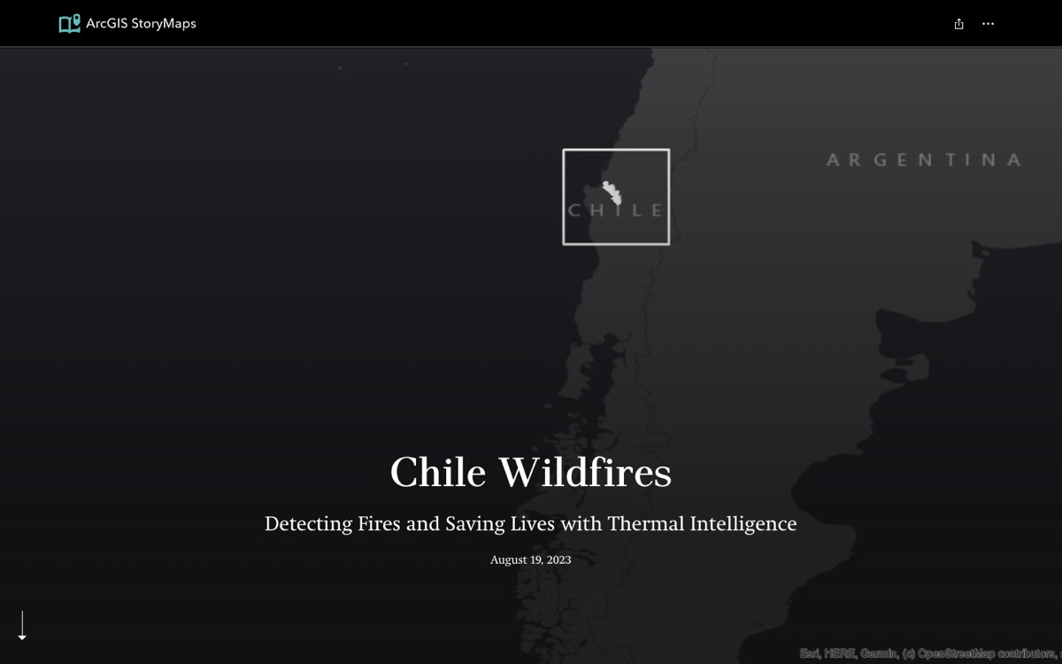
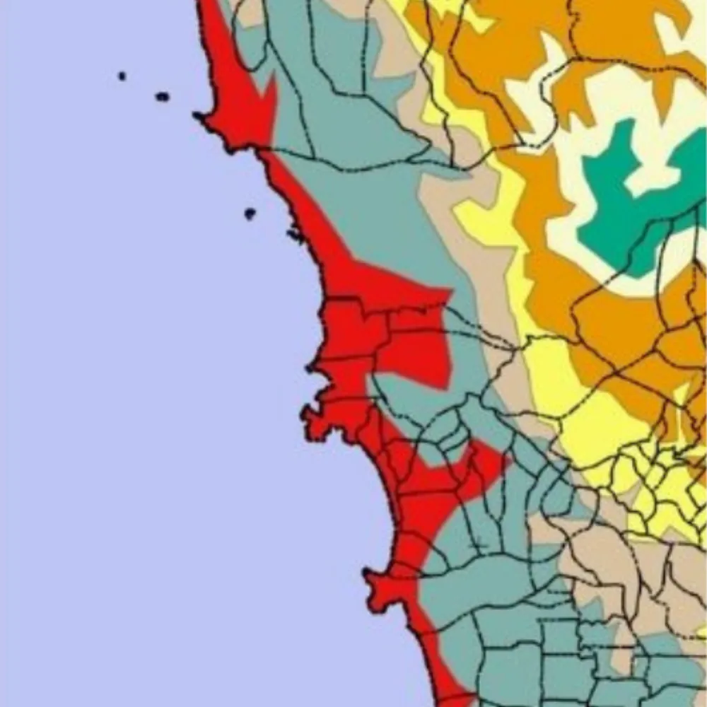
Chile Wildfires
ArcGIS StoryMapsA map story on detecting wildfires in Chile with thermal imagery, built with ArcGIS StoryMaps.