Download
Files are stored on Google Drive.
What's included
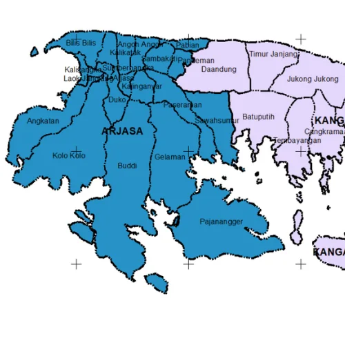
- Country, province, regency/city, district and village boundaries
- Islands and sea
- Area names at every level
Source
GADM (Database of Global Administrative Areas). GADM data is free for research and other non-commercial use.
Tips for using this data
- Files are compressed (.rar); extract them before opening in QGIS or ArcGIS
- For official government documents, use BIG's boundaries as the primary reference
- Village boundaries are the most detailed, so that file is the largest