Interactive WebGIS

From $138

Send us your Excel data and photos. We build a fast, shareable web map (a WebGIS) with popups, filters and a page for every location, and host it for you. For theses and research atlases, NGO and village programs, property portfolios and more.

WebGIS packages

Research

Most popular

Publish your full field data, with a detail page for every location.

Includedworth $54 in credit
$23 credit
Hosting and domain
$23 credit
Database up to 1,000 records, 4 layers
$8 credit
Photo storage up to 2 GB
Free
Logo, colors and content to match your brand
Need more features? Every add-on can be combined.
Ready in about 2 weeks
$268
  • 1 home page about your project / research
  • 1 interactive map page (Mapbox / Leaflet)
  • 3 extra pages: about, contact, gallery
  • 2 basemaps (e.g. topography & satellite)
  • Points or polygons from your Excel file & photo folder
  • Richer popups with custom fields:
  • Photo gallery slider
  • Category / status
  • Description
  • Features & characteristics
  • Data table (e.g. area, measurements, dates, contacts)
  • Tailored interactive data views (e.g. charts, scale, markers)
  • Legend & layer on/off toggles
  • Zoom, my location, auto-zoom to your data
  • Route button (opens Google Maps) & share link
  • 1 detail page for every data item (can show up on Google)
  • Smart Clustering: points group automatically at every zoom level
  • Great for:
  • NGOs & research institutes: spread of programs and beneficiaries for donor reports
  • Village and district governments: village profile, assets and tourist destinations with photo galleries
  • Consultants: deliverables for feasibility studies, environmental impact assessments or participatory mapping
Search and Filter
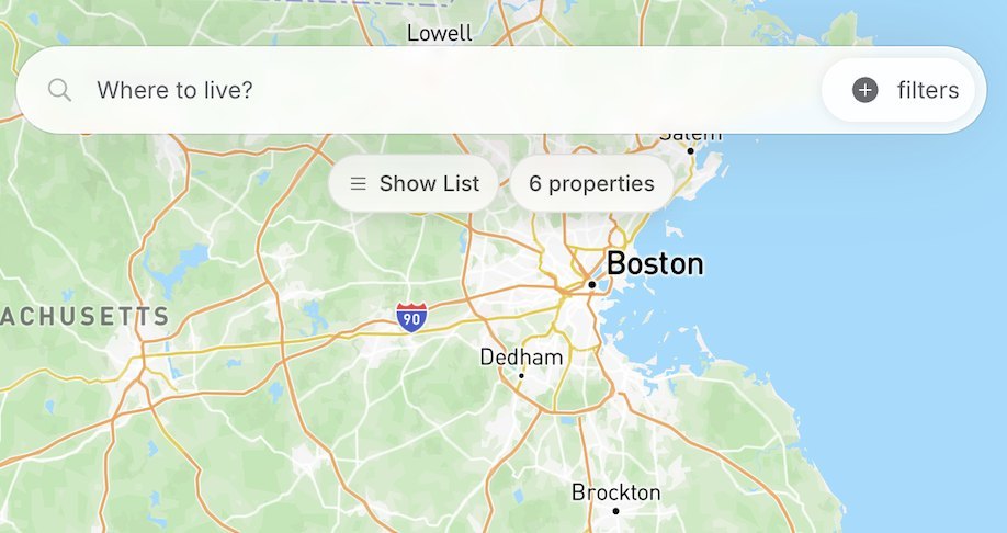
Search and Filter
Measure distance & area
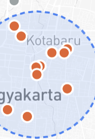
Radius around a location
Density heatmap
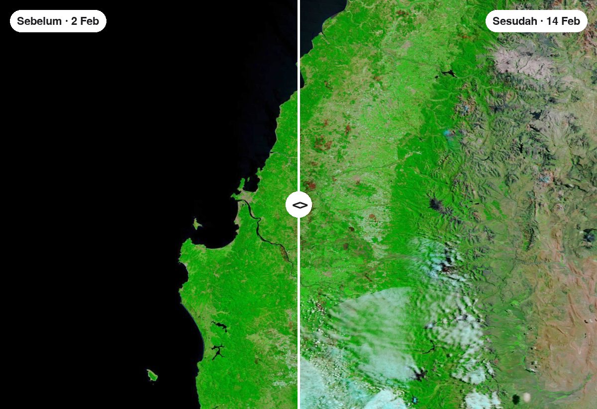
Before / after
Before / after
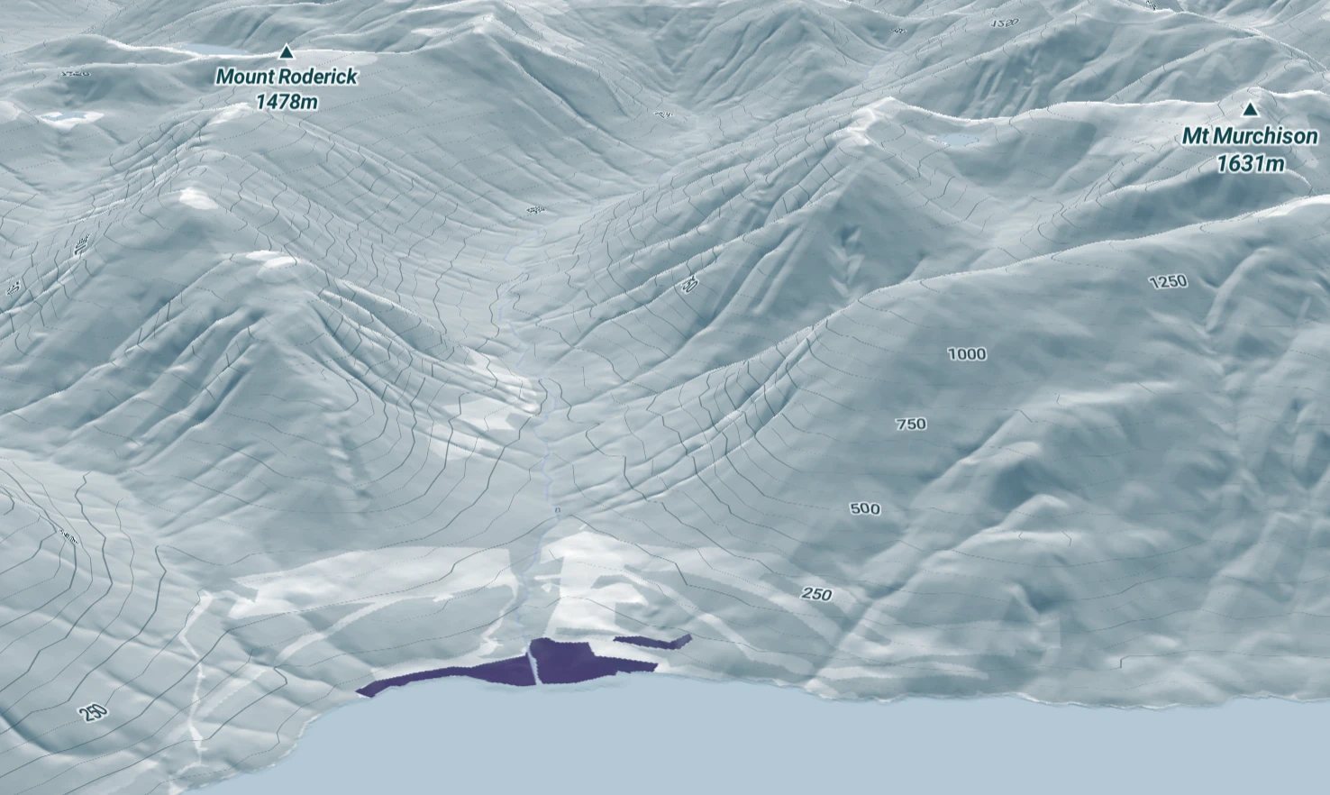
3D map & contours
3D map & contours
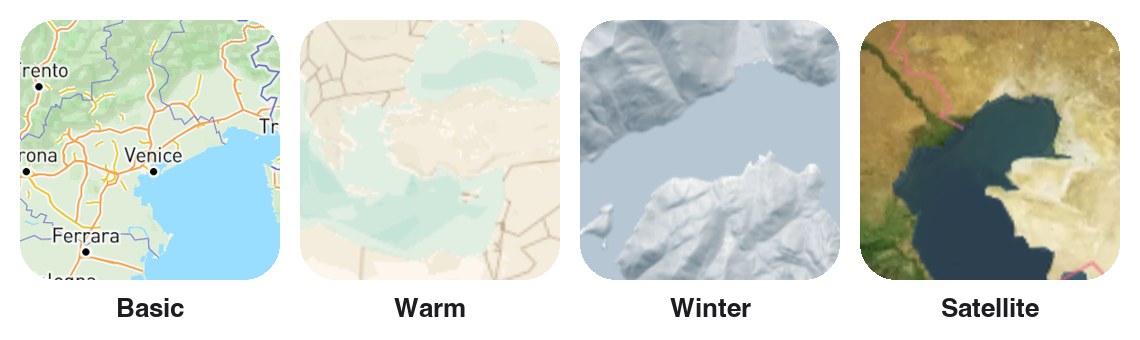
Extra basemap
Extra basemap
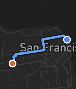
Routes & directions
My location (GPS)
Isochrone / reach area
Street View / 360° photo
Draw on the map
Choropleth / thematic map
Buffer & overlap

How it works

  1. I
    Choose a package & add-onsAdd them to the cart, then send your order via WhatsApp.
  2. II
    Send dataExcel file, photo folder, logo and brand colors.
  3. III
    Design & buildWe build the website, you review, we revise.
  4. IV
    Go liveFinal payment, your website goes live, and the link is ready to share.

Compare packages

FeatureStudentResearchBusiness
Price$138 (regular $153)$268From $997
Best forTheses, community projects, portfoliosResearch, villages, NGOs, consultantsProperty, branches, plantations
PagesHome + map+ about, contact, gallery+ admin & dashboard
Data layers248
Records3001,0005,000
Basemaps12Custom
PopupShortDetailed + custom fieldsDetailed + custom fields
Detail page per item—YesYes
Smart Clustering—YesYes
Manage data yourself——Yes
Statistics dashboard——Yes
Photo storage500 MB2 GB5 GB
Delivery time5–7 days~2 weeks3–4 weeks

FAQ

What is a WebGIS?

A WebGIS is a website that shows location data on an interactive map. Visitors can zoom, click a point or area to see photos and details, filter by category, and share a link or QR code. We build it from your own Excel data and photos and host it for you.

What data formats can I send?

Excel with coordinate columns (latitude, longitude), or KML, SHP and GeoJSON files. Photos can simply go in one folder, with file names matching your data.

Is there a monthly fee?

No. Hosting, domain, database and photo storage are free within the package limits. Your own .com or .id domain is an optional yearly add-on.

Can I upgrade my package later?

Yes. You only pay the difference in package price, and your data and design stay in use.

Do you work with clients outside Indonesia?

Yes. We work in English, prices on this page are our international prices in US dollars. Payment details are sent with your order.

Not sure which package fits?

Free consultation. Send us a sample of your data and we will recommend the best fit.