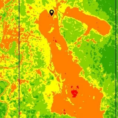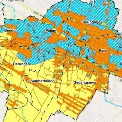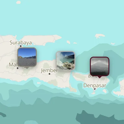
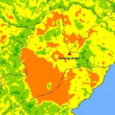
What the map shows
- NDVI values from -1 to 1, grouped into vegetation density classes
- Colours from bare ground to dense vegetation
- The image date used, so it is easy to cite
Data we use
- Sentinel-2 (10 m) or Landsat 8/9 (30 m) imagery
- Low-cloud images from the dates you choose
- Your study area boundary
Often used for
- Agriculture and crop health research
- Forest, mangrove and degraded land studies
- Comparing vegetation between years
Price
Price per map, by the size of the area and how fast you need it.
| Area | 7–5 days | 4–3 days | 2–1 days |
|---|---|---|---|
| Any area | $11 | $13 | $18 |
Common questions
How much does a ndvi map (vegetation index) cost?
From $11 with 7–5 day delivery, the same for any area. Faster delivery costs a little more.
How long does it take?
You choose: 7–5 days, 4–3 days or 2–1 days. Faster delivery costs more.
Can you make indices other than NDVI?
Yes, for example NDWI, SAVI, FCD, land surface temperature (LST) and urban heat island. They are all in the Thematic maps price list.