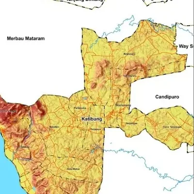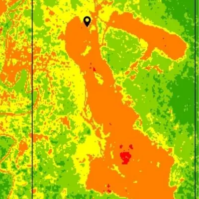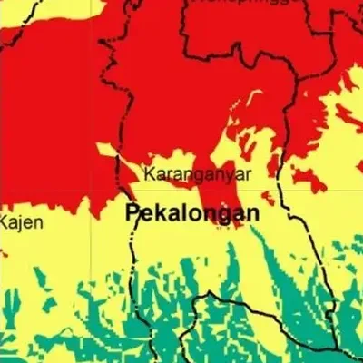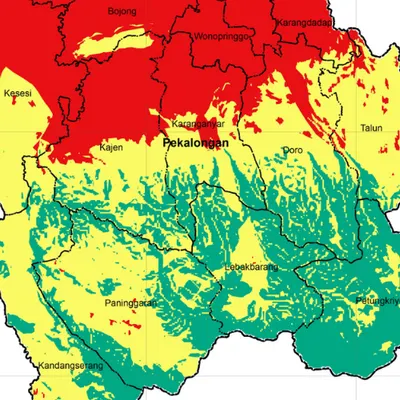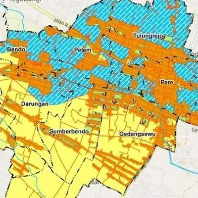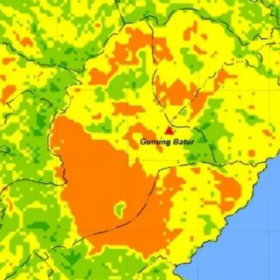
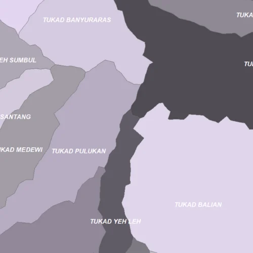
What the map shows
- Watershed and sub-watershed boundaries
- The river network and stream order
- Watershed area for report tables
Data we use
- Official watershed boundaries from KLHK (Indonesia's environment ministry)
- A DEM to delineate small catchments
- River networks from Ina-Geoportal or OpenStreetMap
Often used for
- Hydrology and water quality research
- Flood and erosion studies
- Watershed management plans
Price
Price per map, by the size of the area and how fast you need it.
| Area | 7–5 days | 4–3 days | 2–1 days |
|---|---|---|---|
| Village | $5.52 | $6.63 | $8.83 |
| District | $5.52 | $6.63 | $8.83 |
| Regency | $6.63 | $7.95 | $11 |
| Province | $7.73 | $9.28 | $12 |
| Country | $8.83 | $11 | $14 |
| World | $19 | $23 | $31 |
Common questions
How much does a watershed map cost?
From $5.52 for a village-sized area in 7–5 days. The price goes up for larger areas and faster delivery, up to $31 for world scale in 2–1 days. See the table above.
How long does it take?
You choose: 7–5 days, 4–3 days or 2–1 days. Faster delivery costs more.
What is the difference between major and small watersheds?
Major watersheds use the official KLHK boundaries for big rivers. Small ones are delineated from a DEM for tributaries or areas the official data doesn't cover. The prices above are for major watersheds; small ones cost a little more.