
Land Use – Indonesia
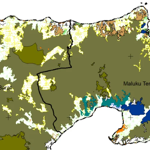
Land use from KLHK: forest, farmland and built-up areas. No longer on the KLHK website.
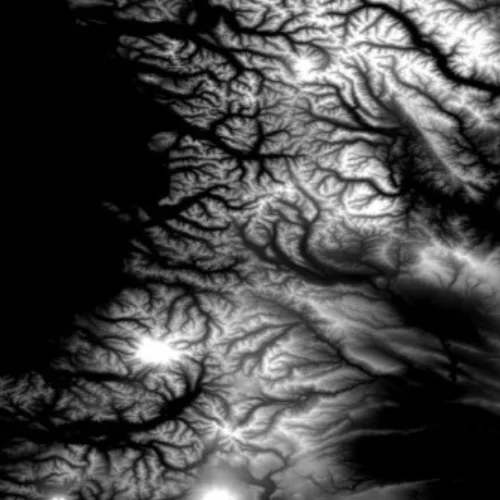
Digital Elevation Model
Indonesia-wide DEM from USGS Earth Explorer. For higher resolution, use DEMNAS. Process on our YouTube.

Contour Interval – Indonesia
Contours from the USGS Earth Explorer DEM. Process on our YouTube.
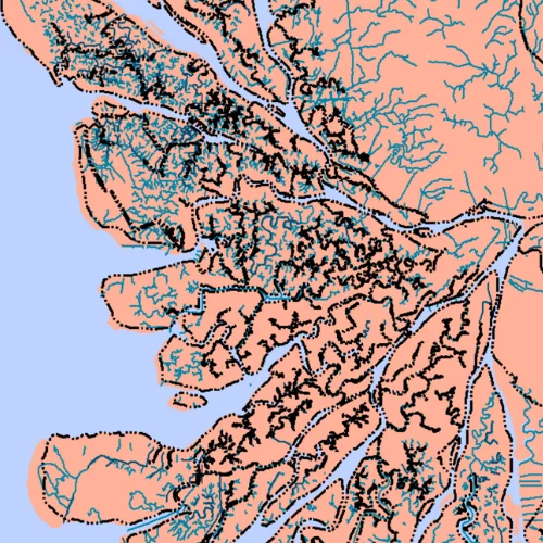
Rivers – Indonesia
River network from Ina-Geoportal and OpenStreetMap.
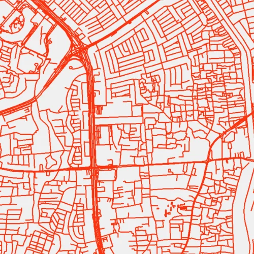
Roads – Indonesia
Road network from OpenStreetMap, with road class, bridges and tunnels.
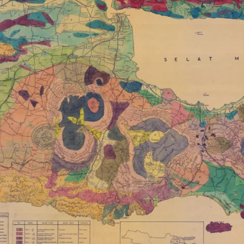
Soil Type
Soil types for Indonesia and selected provinces, from the Soil Map Asia and provincial governments.
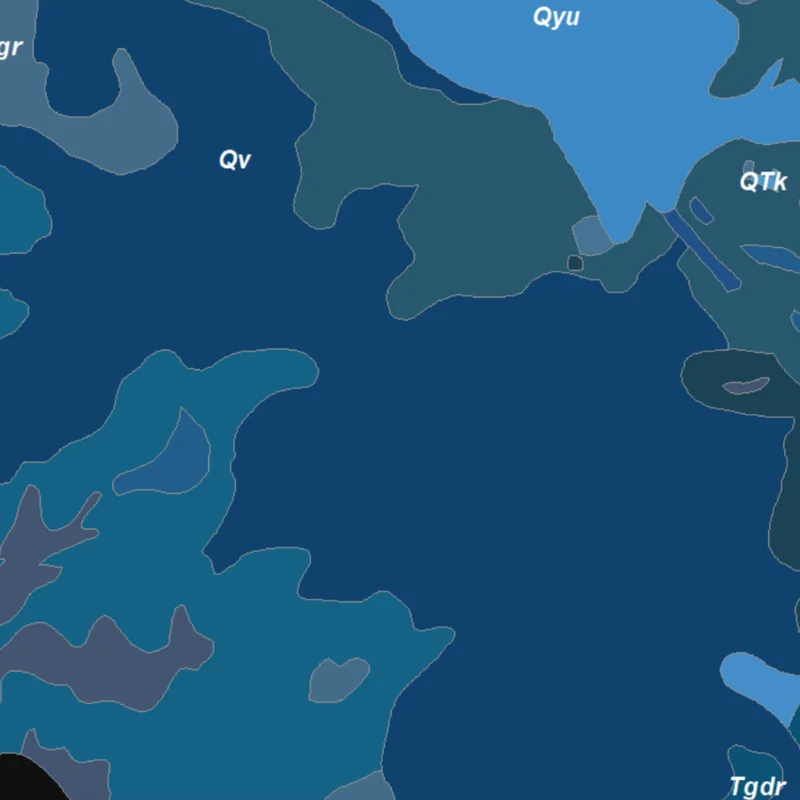
Geology – Indonesia
Geology of Indonesia from ESDM: rock age, lithology and structure.
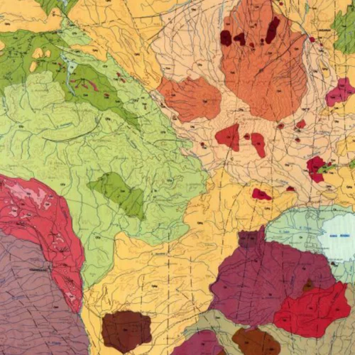
Regional Geology – Indonesia
Regional geology map sheets from ESDM.
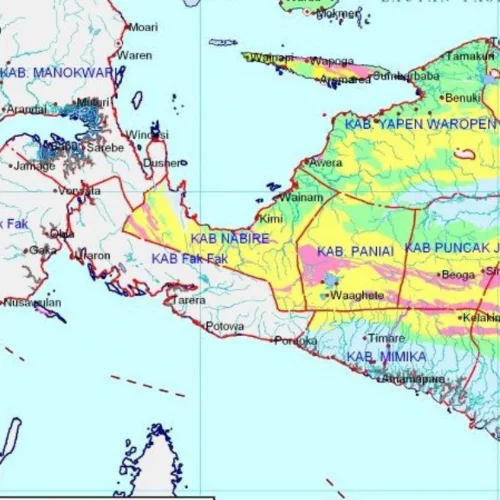
Land Movement
Land movement susceptibility from ESDM, for landslide risk.
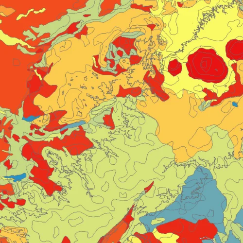
Land System – Indonesia
Land systems from ESDM: landform, slope, lithology and inundation.
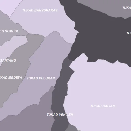
Watershed Boundaries – Indonesia
Watershed boundaries from KLHK. No longer on the KLHK website.
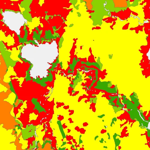
Critical Land – Indonesia
Critical land levels from KLHK. No longer on the KLHK website.
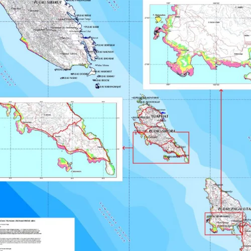
Tsunami Hazard
Tsunami hazard zones from ESDM.
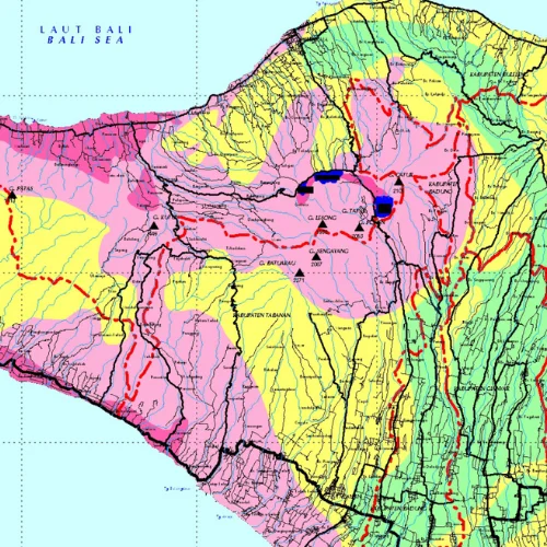
Earthquake Hazard
Earthquake hazard zones from ESDM.
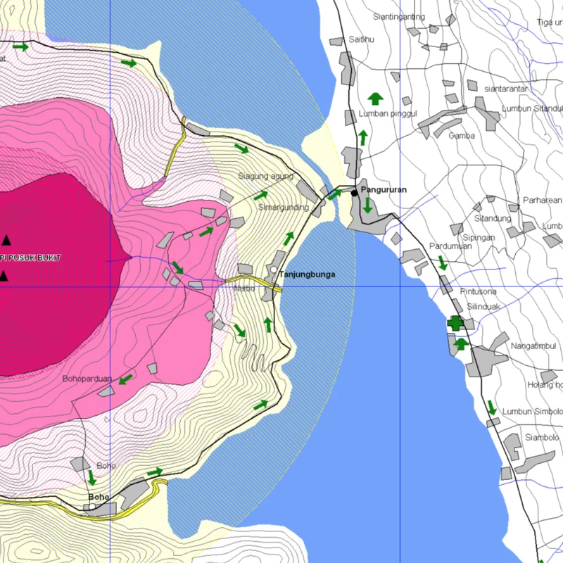
Volcano Hazard – Indonesia
Hazard zones for 120+ active volcanoes, from ESDM.
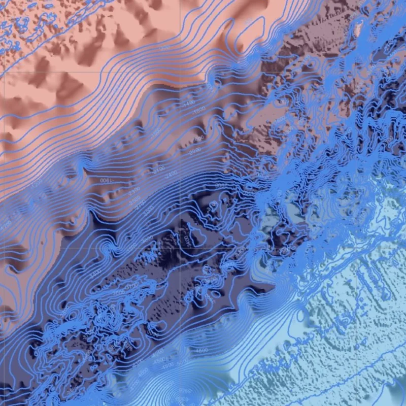
Bathymetry – Indonesia
Seafloor depth from BATNAS.
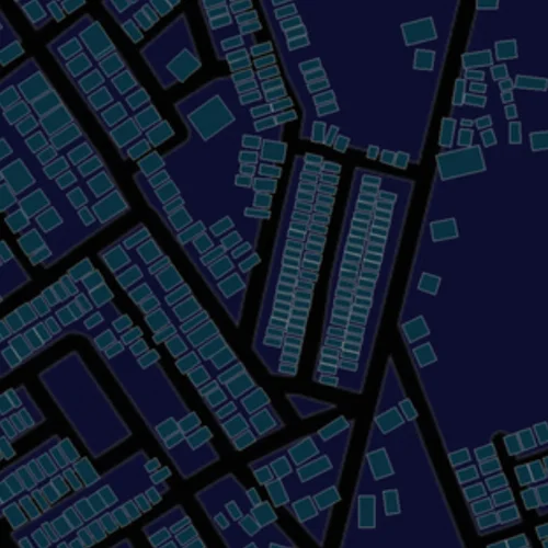
Buildings – Indonesia
Building footprints from OpenStreetMap.
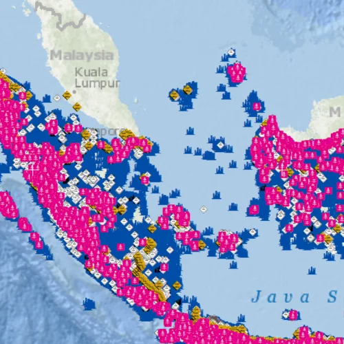
Public Facilities – Indonesia
Schools, hospitals, offices and other public facilities from OpenStreetMap.
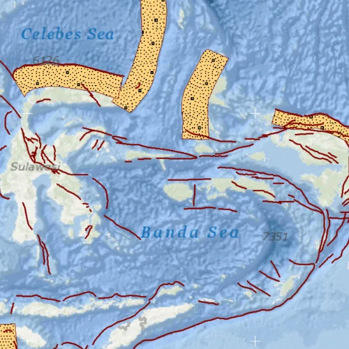
Faults and Megathrust – Indonesia
Faults and megathrusts with slip rate and maximum magnitude, from KLHK. No longer on the KLHK website.